
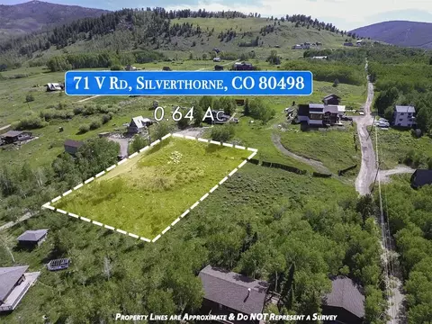
- $448,000
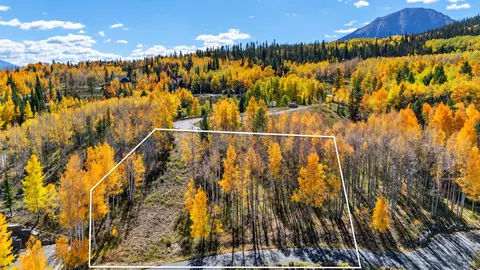
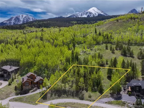
- 0.64 Acre
SOLD 09/08/26

Last sold 10/23/2020 for $449K
bed
bath
Acre ($787K/Acre)
| Property type Lot/Land | Neighborhood | HOA fee $31/month | Lot size 0.57 Acre | Movoto estimate |

| Overview | |
| MLS # | S1015965 |
| Subtype | Unimproved Land |
| Type | Land |
| Status | Closed |
| Lot Size (SqFt) | 24829.2 |
| Lot Size (Acres) | 0.57 |
| Prop Tax | 5829 |
| HOA Fee | Annually, 370 |
| Interior |
| Exterior | |
| Lot Desc | City Lot |
| Amenities / Utilities | |
| Utilities | CableAvailable, ElectricityAvailable, NaturalGasAvailable, PhoneAvailable, SewerAvailable, TrashCollection, WaterAvailable |
| Sewer/ Septic | Public Sewer |
| Water Source | Public |
| Other Equipment | Satellite Dish |
| HOA Fee Includes | Common Area Maintenance |
| Location | |
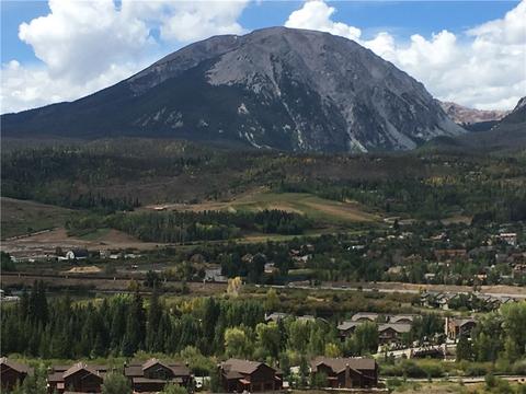
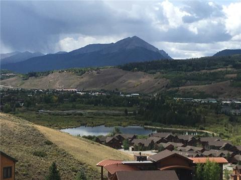
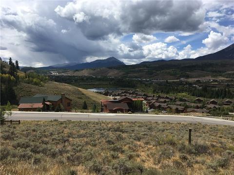
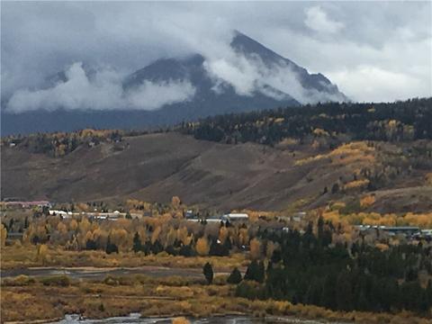
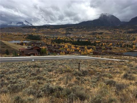
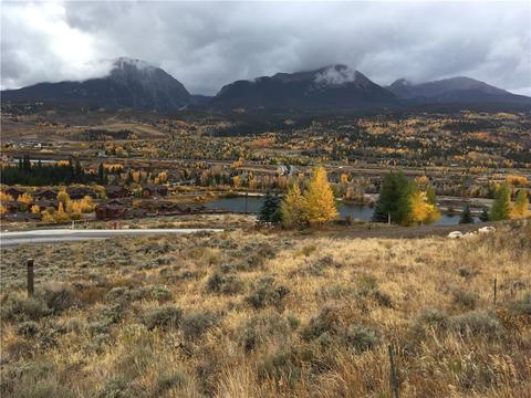
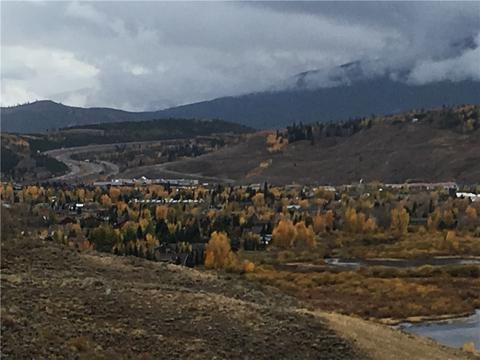
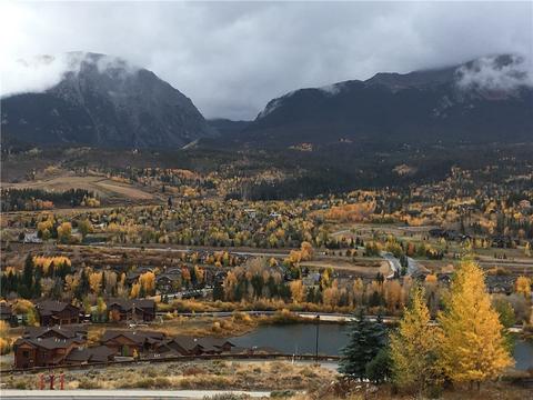
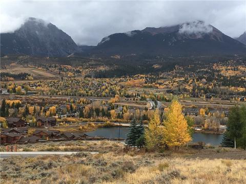
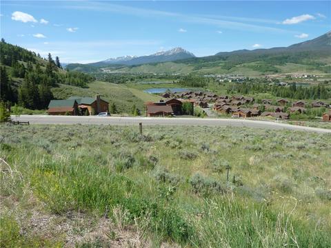
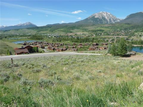
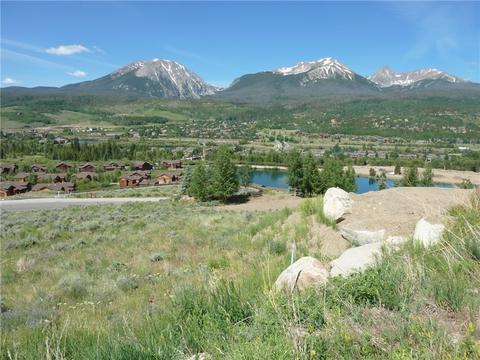
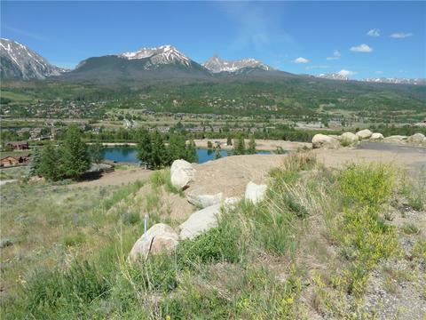
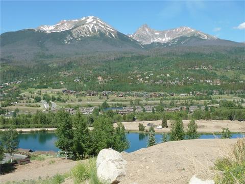
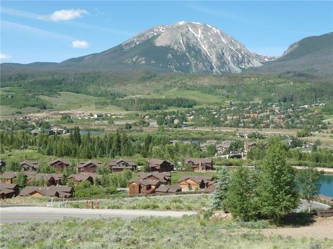
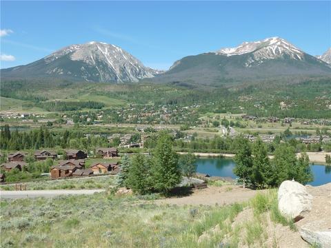
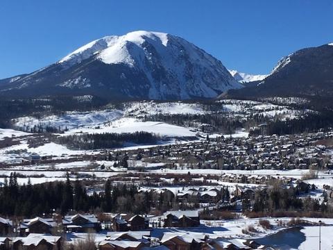
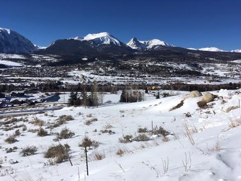
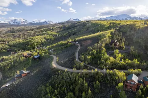
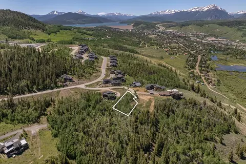
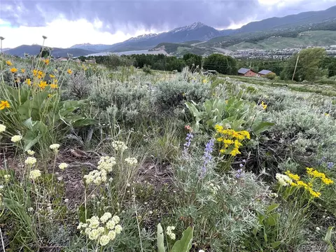
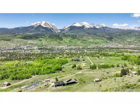
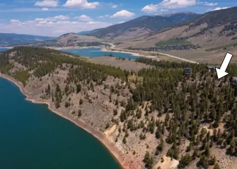
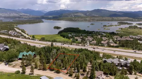
| View | Mountains, SouthernExposure, Valley, Lake |
| County | Summit |
| Community Features | ClubMembershipAvailable, Golf, TrailsPaths |
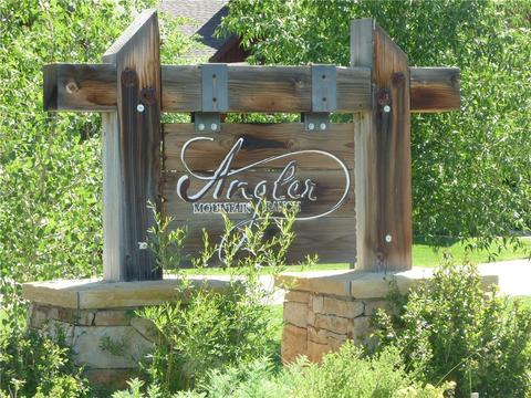
| Subdivision | ANGLER MOUNTAIN RANCH SUB |
| Area | Wildernest/Silverthorne |
| APN | 6513108 |
| Zoning | Single Family |
| Directions | North From Silverthorne On Hwy 9 To Bald Eagle Rd. Right On Bald Eagle Rd. Over The Bridge And Past The AMR Duplex's And Flyline Dr. To The Next Road On The Left, Pheasant Trail. |
| Lot/ Land Details | |
| Current Use | SeeRemarks, Vacant |
MLS # S1015965
MLS # S1001122 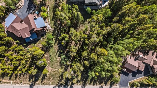
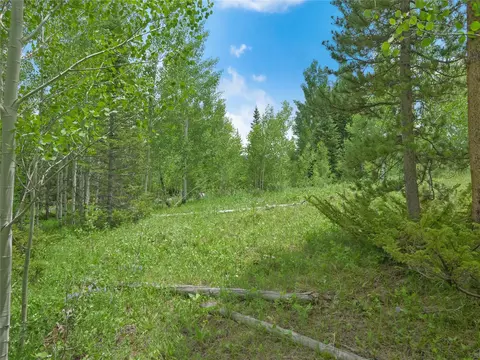

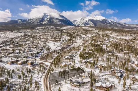

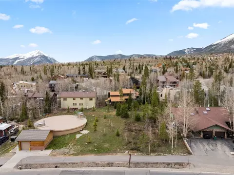



$350,000
$420,000
$699,000
$485,000
$854,500
$1,195,000
$1,622,000
$1,799,000
$1,125,000
$1,196,545
$3,072,500
$2,350,000
$1,495,000
$974,750
$4,225,000
$1,211,000
$599,000
$397,500
$786,489
$381,500
