
- $16,500
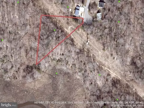
- 0.43 Acre
SOLD


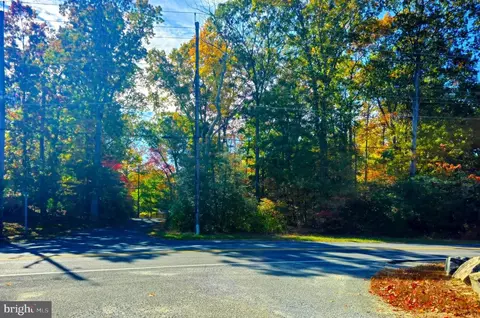
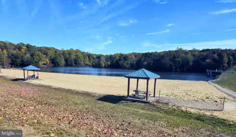
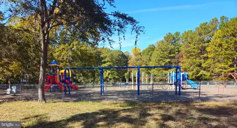
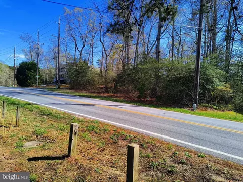
Last sold 03/23/2026 after 356 Days
bed
bath
Acre ($52.9K/Acre)
| Property type Lot/Land | Neighborhood | HOA fee $31/month | Lot size 0.34 Acre |

| Overview | |
| Type | Land |
| SubType | Land |
| Status | Closed |
| Lot Size (SqFt) | 14810.4 |
| Lot Size (Acres) | 0.34 |
| County Tax | 54, Annually |
| Tax: Assessed Value | 5000 |
| Annual Property Tax | 464 |
| HOA Fee | 373, Annually |
| HOA Name | CHESAPEAKE RANCH ESTATES |
| Foreclosure (Y/N) | N |
| Exterior | |
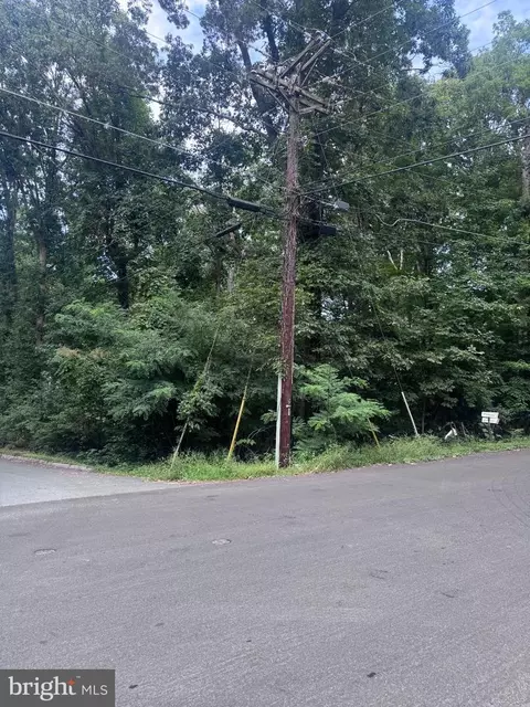
| Existing Structures | None |
| Amenities / Utilities | |
| Utilities | None |
| Sewer/ Septic | No Septic System |
| Other Fees | 60, Annually |
| Location | |
| View | River |
| Body of Water | River |
| Subdivision | CHESAPEAKE RANCH ESTATES |
| Water Source | Public |
| High School | PATUXENT |
| Elementary School | PATUXENT |
| School District | CALVERT COUNTY PUBLIC SCHOOLS |
| Middle School | MILL CREEK |
| Location | Middle Of Block |
| Directions | Take MD-2 South/MD-4 South Solomons Island Rd 23 Mies To A Left On To Calvert Cliff State Park Drive, Turn Right Onto MD-765 South To HG Trueman Rd 1.5 Miles, Turn Left On Town Square Drie Then Turn Right On To Gun Smoke Trail 1.5Miles To The Property |
| Zoning | R |
| Lot/ Land Details | |
| Topography | Level |
| Road Responsibility | Private |
| Acres: Wooded | 0.34 |
| Road Surface Type | Paved |
| Soil Types | Mixed |
| Current Use | Land/Lot Only |
MLS # MDCA2020406
MLS # MDCA2013332
MLS # MDCA2008426 




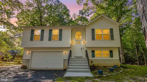
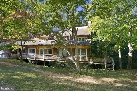


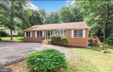
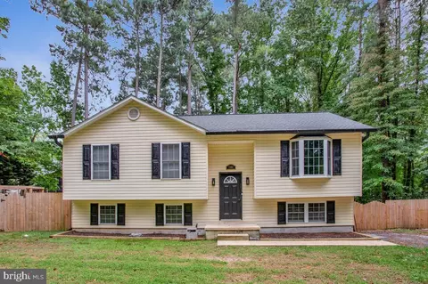
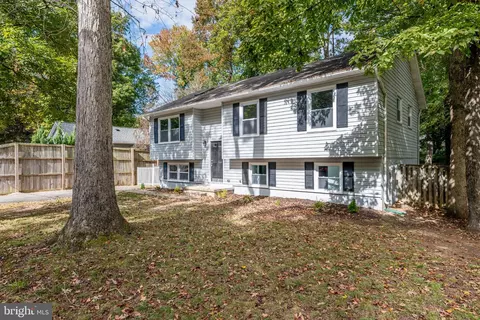
$525,000
$425,000
$417,450
$453,700
$260,000
$299,000
$365,000
$619,400
$490,000
$474,000
$460,000
$357,400
$250,000
$459,000
$377,495
$489,500
$310,000
$390,000
$473,405
$453,950
$399,950