
- $104,000
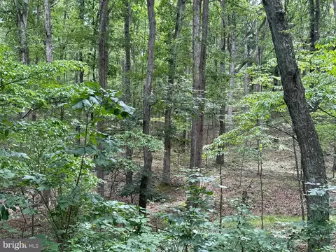
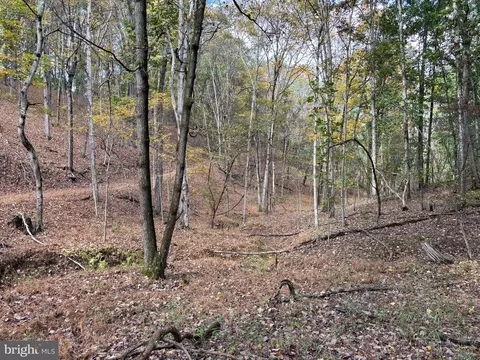
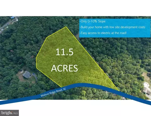
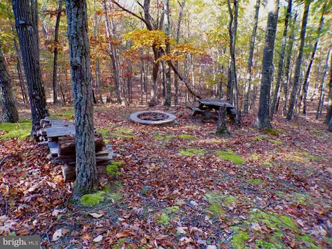
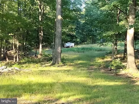
- 20.1 Acre
SOLD



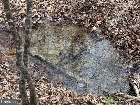

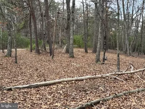
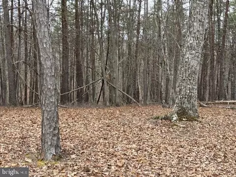
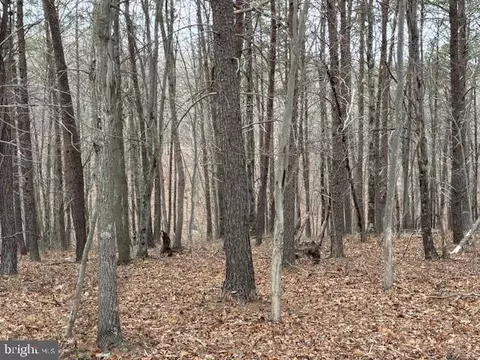
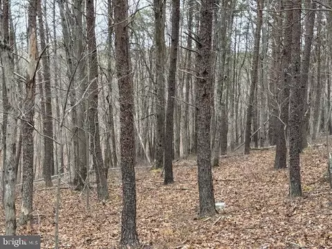
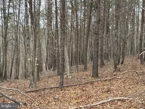
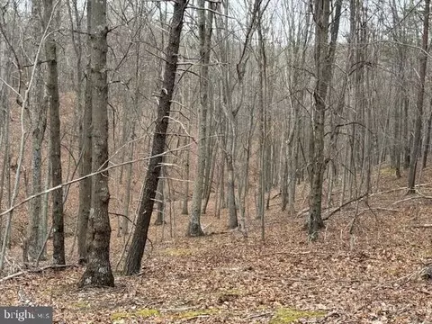


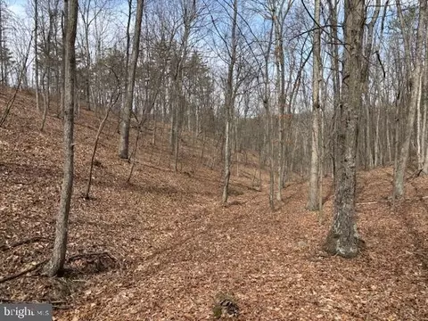
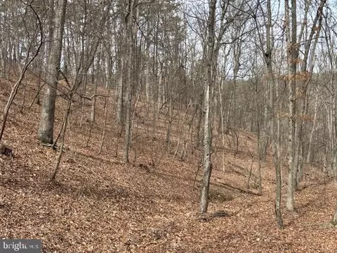
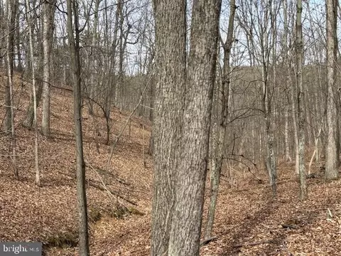
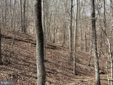
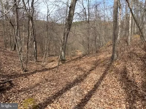

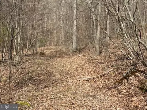
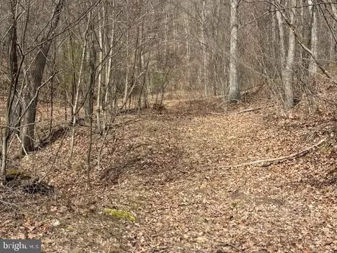
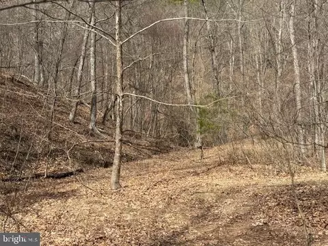
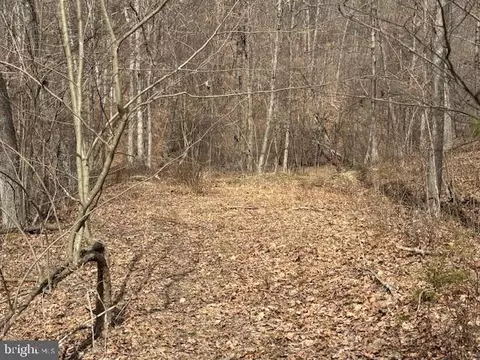
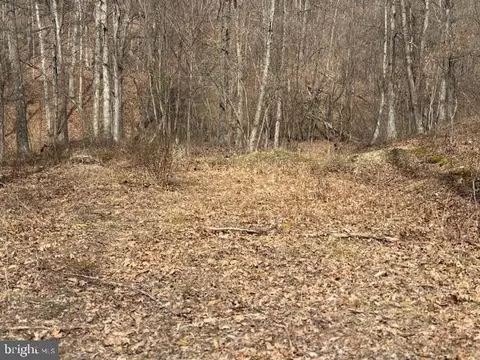
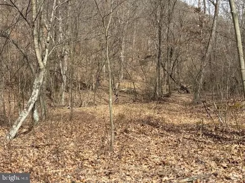
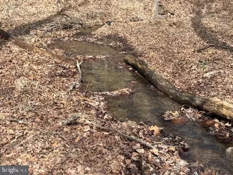
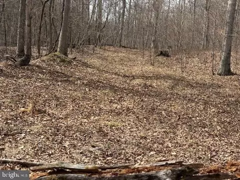
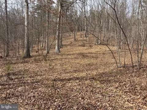
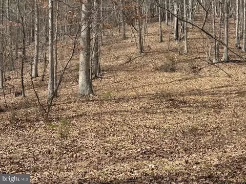
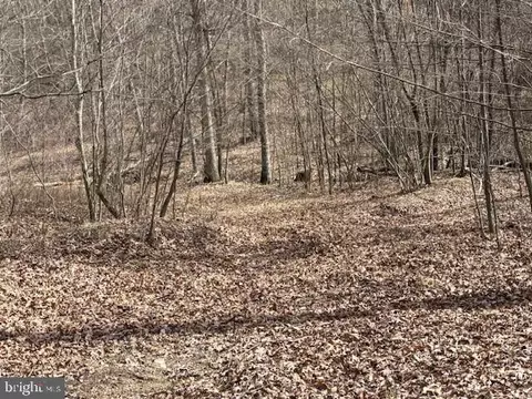
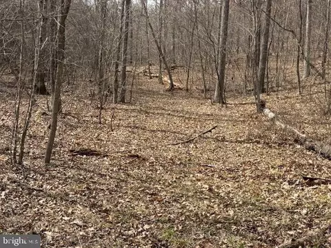
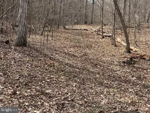
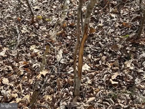
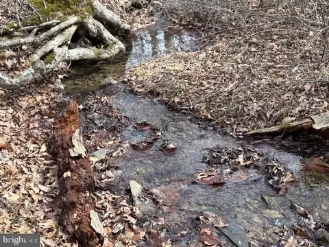
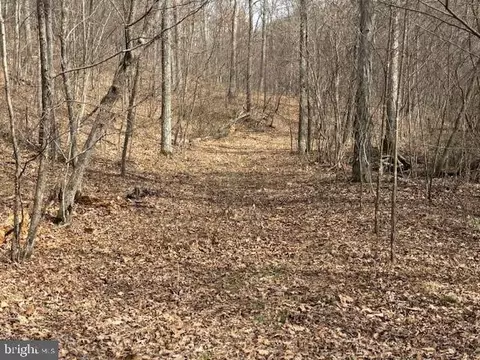
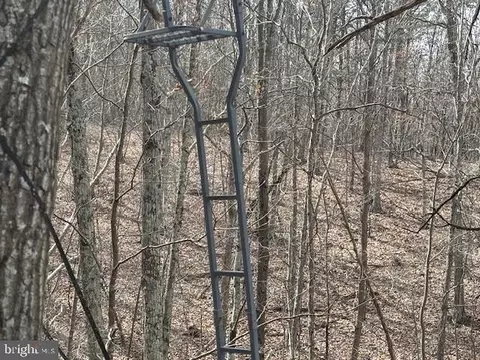
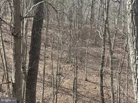
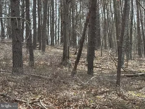
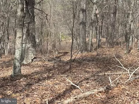

Last sold 05/16/2025 after 56 Days
bed
bath
Acre ($4.03K/Acre)
| Property type Lot/Land | Neighborhood | HOA fee $25/month | Lot size 21.09 Acre |

| Overview | |
| Type | Land |
| SubType | Land |
| Status | Closed |
| Lot Size (SqFt) | 918680 |
| Lot Size (Acres) | 21.09 |
| County Tax | 154, Annually |
| School Tax | 289 |
| Tax: Assessed Value | 44400 |
| Annual Property Tax | 466 |
| Municipality | Springfield |
| HOA Fee | 300, Annually |
| Foreclosure (Y/N) | N |
| Exterior |
| Amenities / Utilities | |
| Sewer/ Septic | Site Evaluation On File |
| Location | |
| Subdivision | MOUNTAIN AIR |
| Water Source | None |
| School District | HAMPSHIRE COUNTY SCHOOLS |
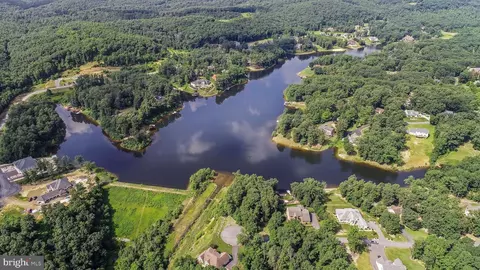
| Location | Rural |
| Directions | From PRR - Head East On W. Main Street, Then Turn Left Onto N. High Street And Continue For 0.4 Miles. Proceed Onto WV-28 N/Cumberland Rd And Follow For 8.3 Miles. Make A Slight Right Onto Greenspring Valley Rd And Continue For 3.5 Miles. Turn Left Onto Donaldson School Rd, Then Turn Right Onto Mountain Air Drive (Gate Code Required). Proceed On Mountain Air Drive And Take A Left Onto Oak Ridge Drive, Continue For Approximately 0.5 Miles. The Property Will Be On The Right With A Sign. |
| Zoning | 100 |
| Lot/ Land Details |
MLS # WVHS2005870 







$124,500
$407,495
$240,000
$121,500
$122,400
$163,250
$400,000
$279,900
$119,900
$162,400
$135,000
$115,000
$112,495
$429,900
$107,450
$405,990
$279,900
$535,000
$341,990
$40,780