
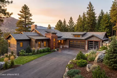
- $745,000
- 3Bd
- 3Ba
- 1,835 Sq Ft
SOLD 06/19/26


Last sold 03/18/2022 after 157 Days
bed
bath
Sqft ($443/Sqft)
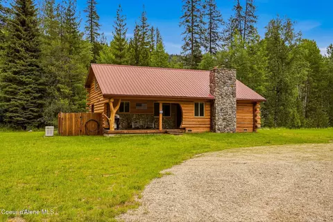
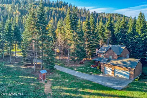
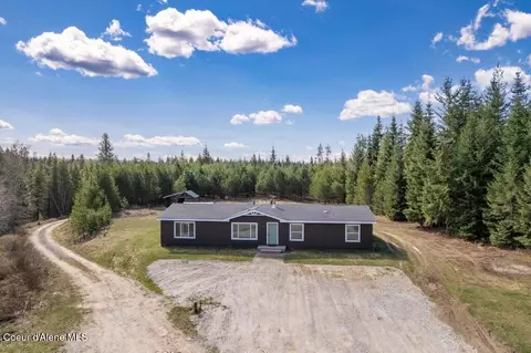
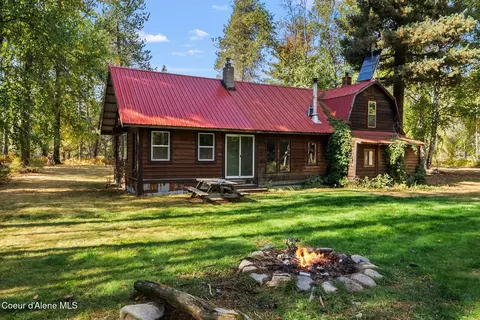
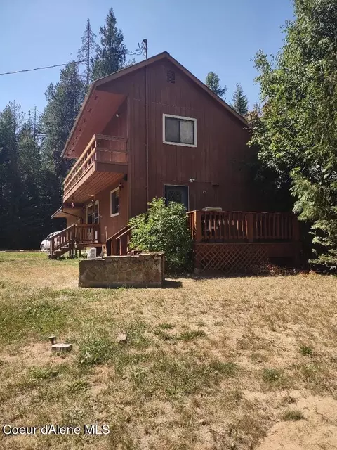
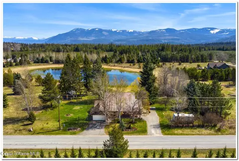
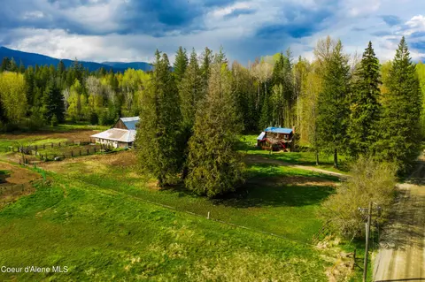
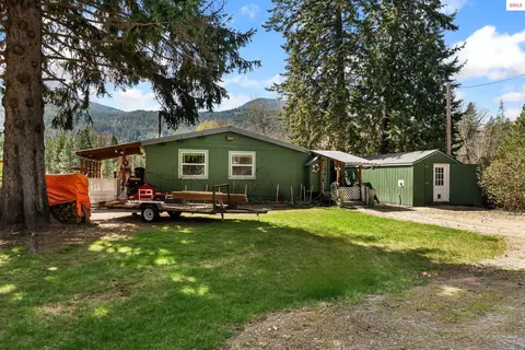
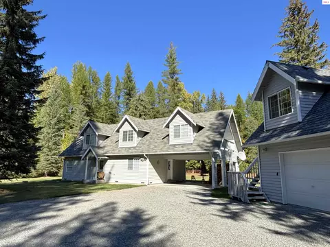
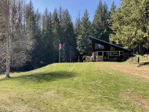
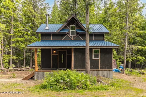
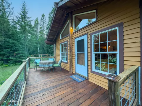
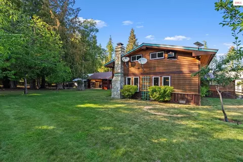
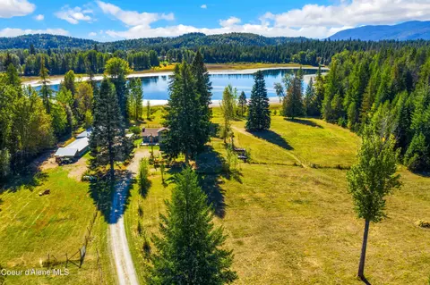
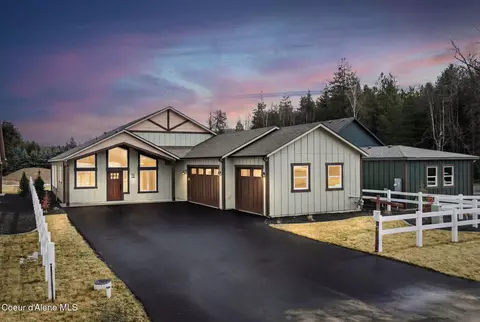
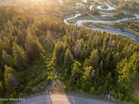
| Property type House | Neighborhood | Year built 1970 | HOA fee $0/month | Lot size 4.29 Acre |
| Overview | |
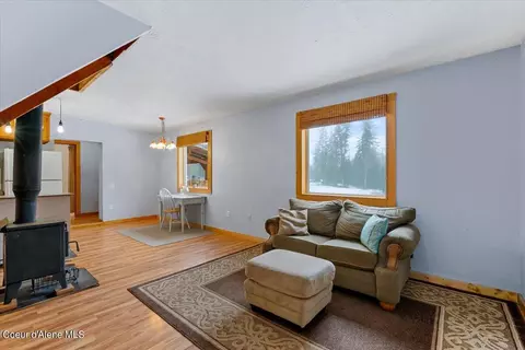
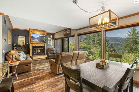
| Heating | Cadet, Wood Stove, Electric, Wood |
| MLS # | 21-10560 |
| Status | Closed |
| SubType | Site Built > 2 Acres |
| SqFt | 1468 |
| Lot Size (SqFt) | 186872.4 |
| Lot Size (Acres) | 4.29 |
| Property Tax | 1268 |
| Year Built | 1970 |
| Interior | |
| Total # of Bathrooms | 2 |
| # Bedrooms | 3 |
| Basement | None, Crawl Space |
| Flooring | Laminate, Carpet |
| Appliances | Washer, Refrigerator, Range/Oven - Elec, Dryer, Gas, Dishwasher |
| Interior Features | Washer Hookup |
| Exterior | |
| Foundation | Concrete Perimeter |
| Roof | Metal |
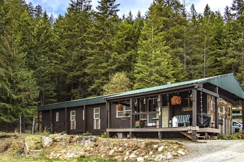
| Exterior Features | Covered Deck, Fencing - Partial, Fruit Trees, Spa/Hot Tub, Lawn |
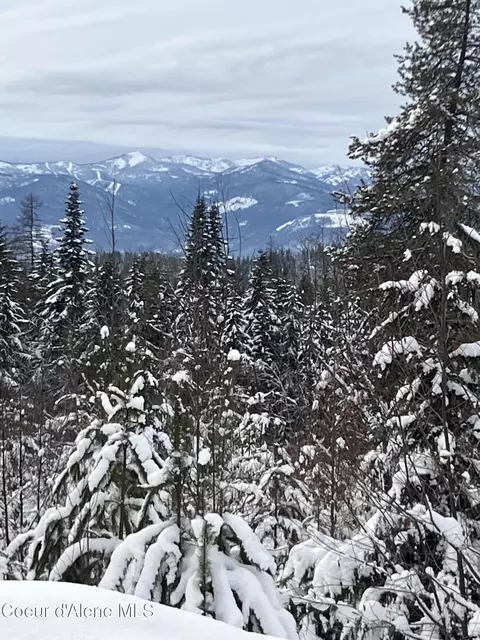
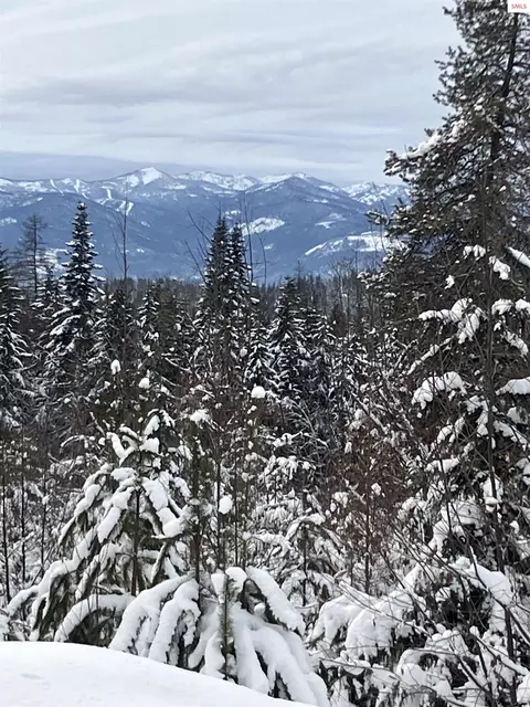
| Lot Desc | Level, Open Lot, Sloped, Wooded |
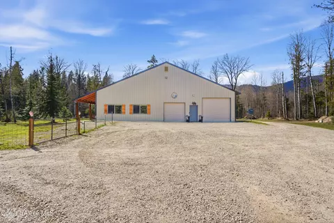
| Other Structures | Workshop, Storage, Shed(s) |
| Amenities / Utilities | |
| Sewer/ Septic | Septic System |
| Water Source | Well |
| Location | |
| View | Mountain(s) |
| County | Boundary |
| Area | North (Bonner & Boundary) |
| Add'l Parcels Desc | 2004503 |
| High School District | Boundary Co - 101 |
| APN | RP6N02W348560A |
| Zoning | Ag/Forest |
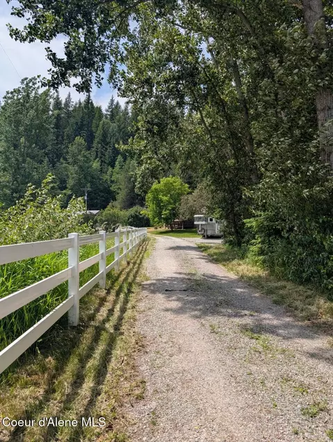
| Directions | From Sandpoint, Take Hwy 95 N (approx. 8.7 Miles). Turn Left At The Samuel's Gas Station Onto Upper Pack River Rd. (go Approx 7.3 Miles) Driveway On The Left, Just Past End Of Pavement. See My Sign. |
| Lot/ Land Details | |
| Road Surface | Gravel |
| Est. value | Bed/bath | Sqft | mi | |
|---|---|---|---|---|
| 7307 Upper Pack River Rd, Sandpoint, ID 83864 | $306,750 | 2/1 | 1,320 | 0.08 |
| 126 Wapiti Ln, Sandpoint, ID 83864 | $263,920 | —/— | 1,782 | 0.12 |
| 124 Wapiti Ln, Sandpoint, ID 83864 | $537,760 | 3/3 | 2,808 | 0.15 |
| 7569 Upper Pack River Rd, Sandpoint, ID 83864 | $564,560 | 3/3 | 1,835 | 0.18 |
| 7205 Upper Pack River Rd, Sandpoint, ID 83864 | $118,160 | —/— | 1,188 | 0.18 |
| 7555 Upper Pack River Rd, Sandpoint, ID 83864 | $967,860 | 4/2 | 2,001 | 0.19 |
| 7204 Upper Pack River Rd, Sandpoint, ID 83864 | $419,720 | 3/2 | 1,344 | 0.2 |
| 7157 Upper Pack River Rd, Sandpoint, ID 83864 | $191,670 | 1/1 | 438 | 0.21 |
Estimated values are based on public record data and automated valuation models. Values are not guaranteed and may not reflect current market conditions.


$532,015
$335,000
$375,000
$725,000
$349,950
$550,000
$275,000
$329,950
$279,000
$349,000
$375,000
$350,000
$725,000
$456,750
$282,000
$250,000
$275,000
$749,900
$695,000
$812,500