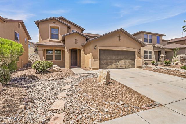
Life is sweet in The Sun City.

- $555,000
- 4Bd
- 3Ba
- 2,734 Sq Ft
New 11 Hours


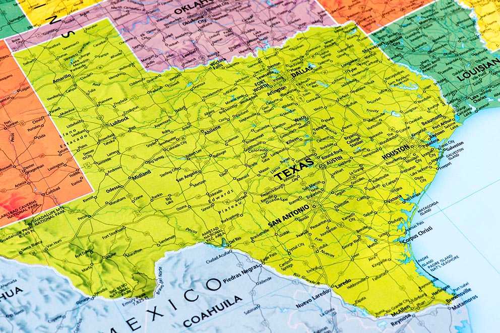
See that dot in the west? No, further west. El Paso is in west Texas, which is a roundabout way of saying it's as far west as you can go while still being in Texas.
El Paso and Hudspeth Counties are the only parts of Texas that aren't on Central Time, instead of falling into the western Mountain Time.
Gas is so cheap in this part of Texas that New Yorkers and Californians are seriously jealous.
El Paso is dense with people. maybe not by New York standards, but definitely by Texas standards.
We have a population of 672,538 based on census estimates, coming in just behind Detroit.
In this image, the racial breakdown of 2010 census data is represented by colored dots: red is white, blue is black, green is Asian, orange is Hispanic, and yellow is other.
26% of our population was foreign-born, though that doesn't make it particularly unique compared to other Texas border towns. (The dark orange color represents foreign-born.)
Admittedly, compared to the less-inhabited areas of Texas that adjoin El Paso, the city's crime rate doesn't look great on this map - but in 2013, El Paso was named the safest large city in America for the third year running.
The average home lists for $184,726, which is a far cry from the country's larger metropolitan areas.
The oldest town in Texas is a point of contention, though the east Texas town of Nacogdoches, founded in 1779, likes to claim the honor because of a long history of settlements in the area. However, El Paso residents know that their town was founded in 1680, with a history of settlements dating back thousands of years earlier.
And that reason is 300 days a year of sunshine.
Sure, Walk Score says El Paso is the 30th most walkable large city in the nation, but that must be because other cities are even worse. In the map above, green represents an area's walkability, while red means less walkability. So be sure you have a car for getting from place to place in El Paso.
Even in the heart of El Paso - that's the darker shade of blue - only 6% of people use public transportation.
Bring on the free electricity!
Texas is known as a Republican stronghold, but large metropolitan areas like Austin, Dallas, San Antonio, Houston, and, yes, El Paso definitely lean liberal, as this map of 2012 election results shows.
El Paso may have a big metro area, but it still doesn't have the light pollution of the bigger cities - or of the East Coast in general.
Those dim colors do not represent a happenin' scene.
Admittedly, you can see a lot of things from space. But still, we approve of this orbital view of El Paso, which blurs into the Mexican city Juárez on the other side of the border without map lines to divide them.
You can just tell where El Paso is in this picture by the bright line of lights that represents I-10 and the curving black line of the Rio Grande. Everything looks shinier from space!
you can use your cell phone there, with service that's 25% better than the average US city. Take that, Silicon Valley!